5 of the Best Fall Hikes in NWA
By NWA Daily | Published September 28
5 of the Best Fall Hikes in NWA
The colors of the fall foliage, the brisk temperatures with warm sun, and the out-of-this-world sunsets. These are just a few of the reasons you should get outside this Fall to explore the beauty of the Ozarks. Whether you’re visiting Northwest Arkansas for the first time, or you’re a local that needs a new trail to explore, or you just want a reminder of where to enjoy the Fall season–we rounded up six of the the best Fall hikes to explore in NWA. The hikes range in difficulty and length, but all are guaranteed to provide a fun adventure with scenic views. Special thanks to our friends at 37 North Expeditions for putting this guide together!
📍Trail Head: Lost Valley Rd, Kingston, AR 72742
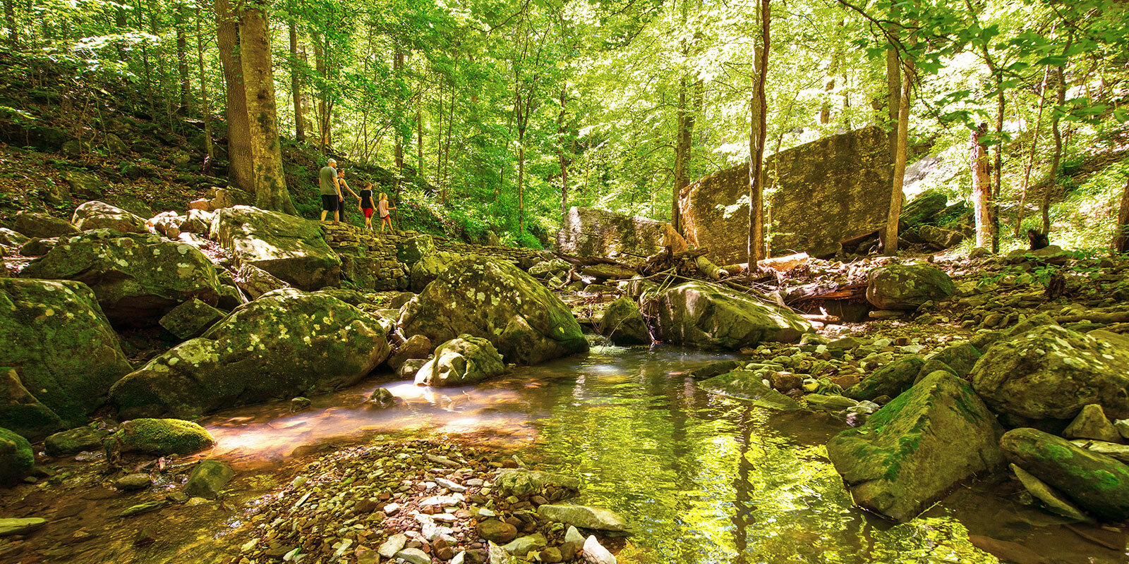
Photo: Courtesy of Arkansas Tourism
This is one of the most gorgeous and popular hikes in all of the Ozarks. Lost Valley’s beauty shines year-round, but it’s extra special once Fall starts to show its colors. This trail is an easy going, 2.2 mile out and back hike. The main points of interest on the hike are Eden Falls and Cobb Cave. Eden falls cascades over 50 feet into Clark Creek!
- Length: 2.2-Miles Out & Back
- Difficulty: Easy-Moderate
📍Trail Head: Sam's Throne Campground, Arkansas 72655
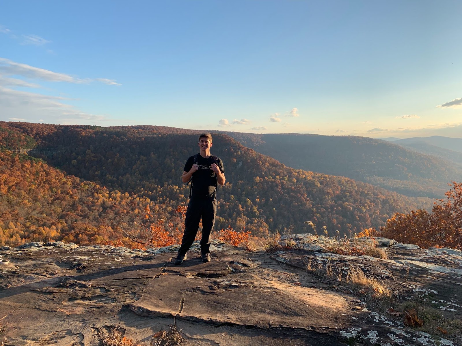
Photo: Courtesy of 37 North Expeditions
Sam’s Throne leads you down along a ridge before crossing a saddle with spectacular views on both sides (the perfect place to check out the changing fall colors). After about 1.5 miles, there is a short rock scramble to a hilltop. It’s worth it for the 360 degree views!
- Length: 2.9-Mile Loop
- Difficulty: Moderate
Devil’s Den – Yellow Rock Trail
📍Trail Head 11333 West Arkansas Hwy. 74 West Fork, AR 72774
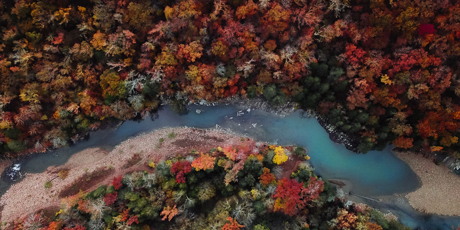
Photo: Courtesy Parker Dodson
The main feature of the Yellow Rock Trail is the Yellow Rock overlook which gives you a wide open view of Lee Creek Valley and fall foliage as far as the eye can see. This trail is considered moderate.
- Length: 3-Mile Loop
- Difficulty: Moderate
📍Trail Head: Alum Cove Natural Bridge Recreation Area, Deer, AR 72628
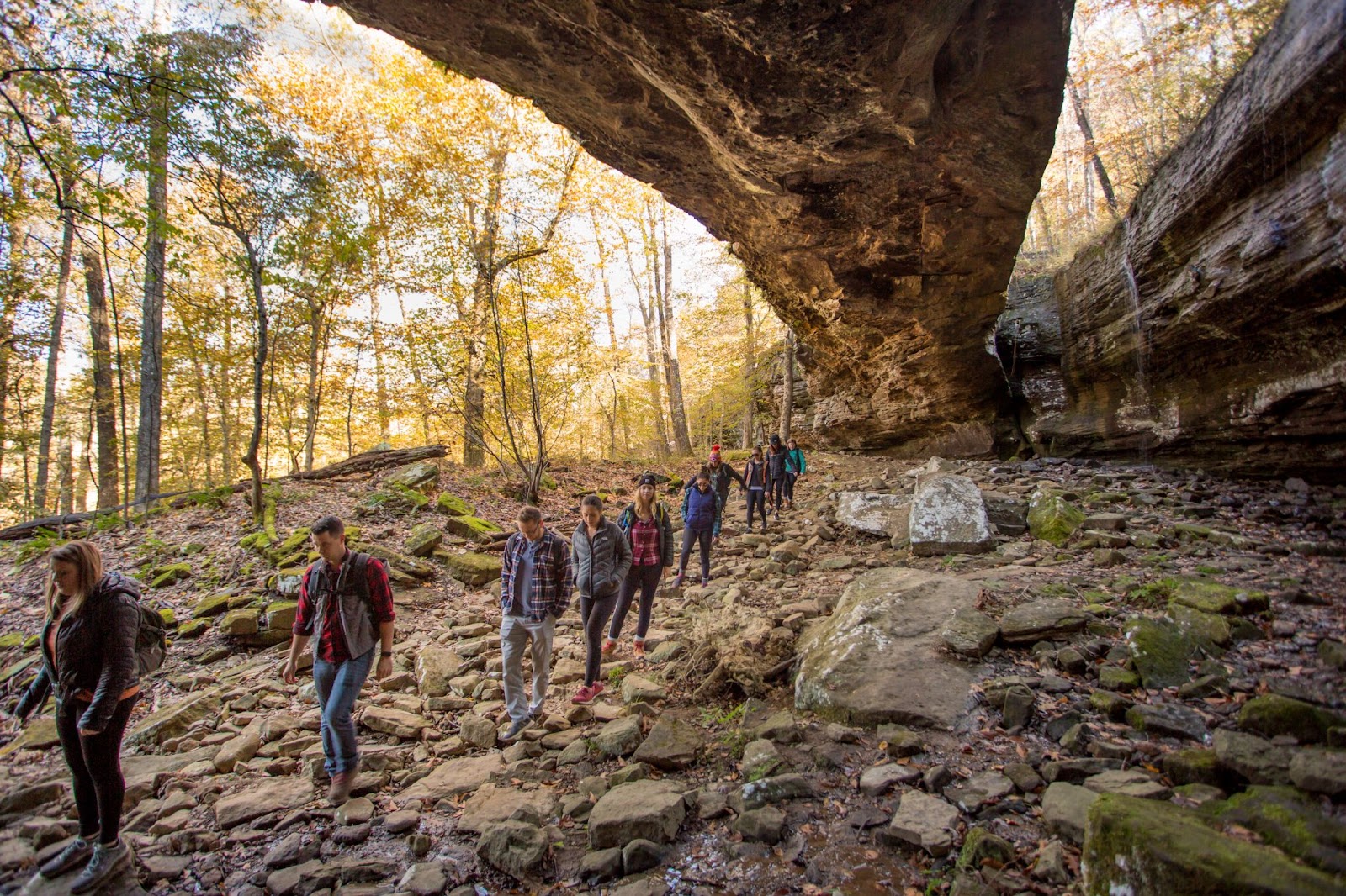
Photo: Courtesy of 37 North Expeditions
The Alum Cove starts off by crossing over the top of a natural bridge and then allows you to see it from below. After you continue around the loop you follow a small creek and where you’ll see many small caves that you can pop in and out of. This hike is perfect for a quick getaway adventure!
- Length: 1.2-Mile Loop
- Difficulty: Moderate
📍Trail Head: Searcy 1 Hwy, Witts Springs, AR 72686
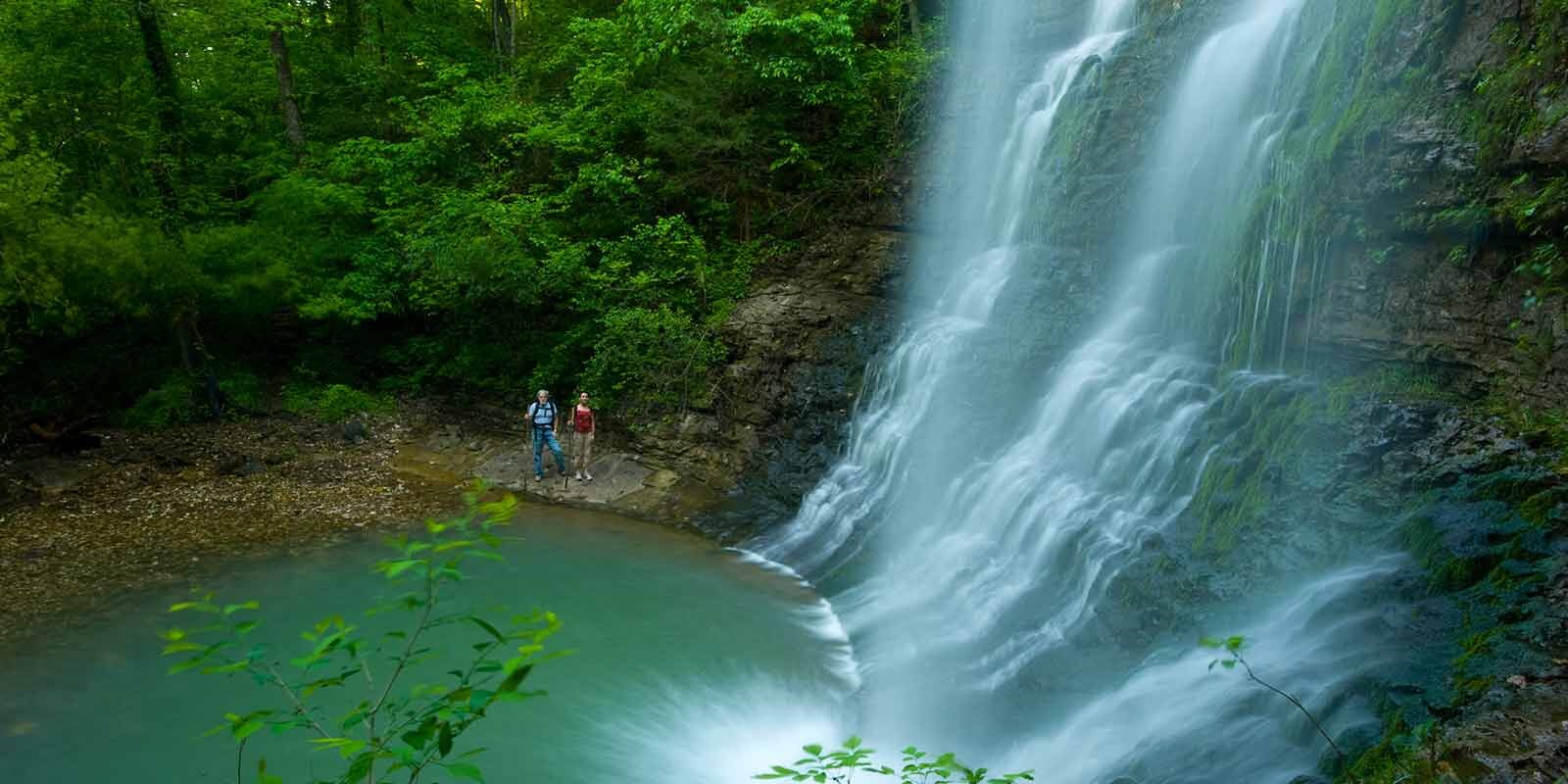
Photo: Courtesy Arkansas Tourism
Richland Creek Wilderness is most known by kayakers, but the hiking in this area is like nowhere else. Twin falls is a moderate to difficult hike where you have multiple water crossings. The trail leads you along the amazing river with large boulders all over then ends at Twin Falls where you can wade out to this stunning double waterfall.
- Length: 5.1 Mile Out & Back
- Difficulty: Moderate-Difficult
Fall trail suggestions and tips are provided by 37 North Expeditions who curates outdoor experiences that blend social interactions, physical activity, and outdoor education. You can check out their pre-scheduled trip offerings on their website or contact them to schedule a private outdoor experience.
Subscribe to receive our daily newsletter
Know all the happenings in NWA with a 5-minute read of our free email newsletter every weekday.