NWA Daily's Trail Guide
By NWA Daily | Published September 23
Fayetteville
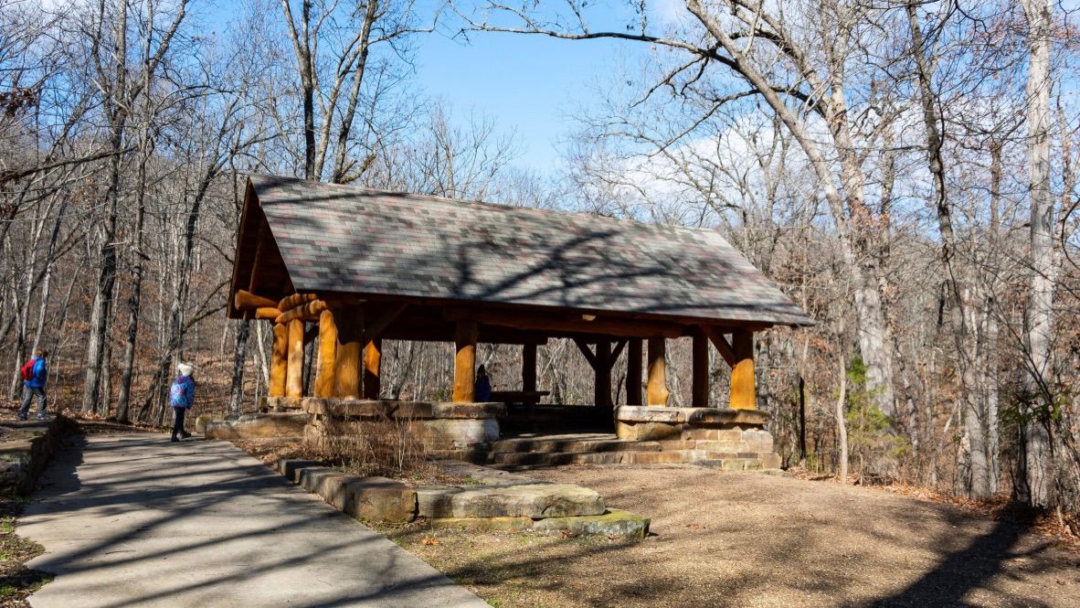
Photo courtesy of Johnathan Bitler - Facebook
The Mount Sequoyah woods is a 97-acre park featuring approximately 4.5 miles of multi-purpose, natural-surface trail that meanders through the forest on the east side of Mt. Sequoyah. The trailhead on East Paddock road leads to a picnic area and pavilion. This is a perfect place to slip into the wilderness so close to home.
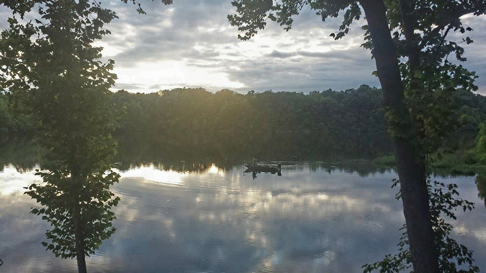
Photo courtesy of Lake Sequoyah Facebook
The Lake Sequoyah trails are in a nature area in southeast Fayetteville. There are three sections of trails that begin at the boat docks. The north trail, King Fisher Trail, is 3.8 miles down and back. The south trail, Rookery Trail, is 4 miles down and back. The third section of trail is a quarter mile one way on the west side of the lake. Nothing quite beats walking next to the water.
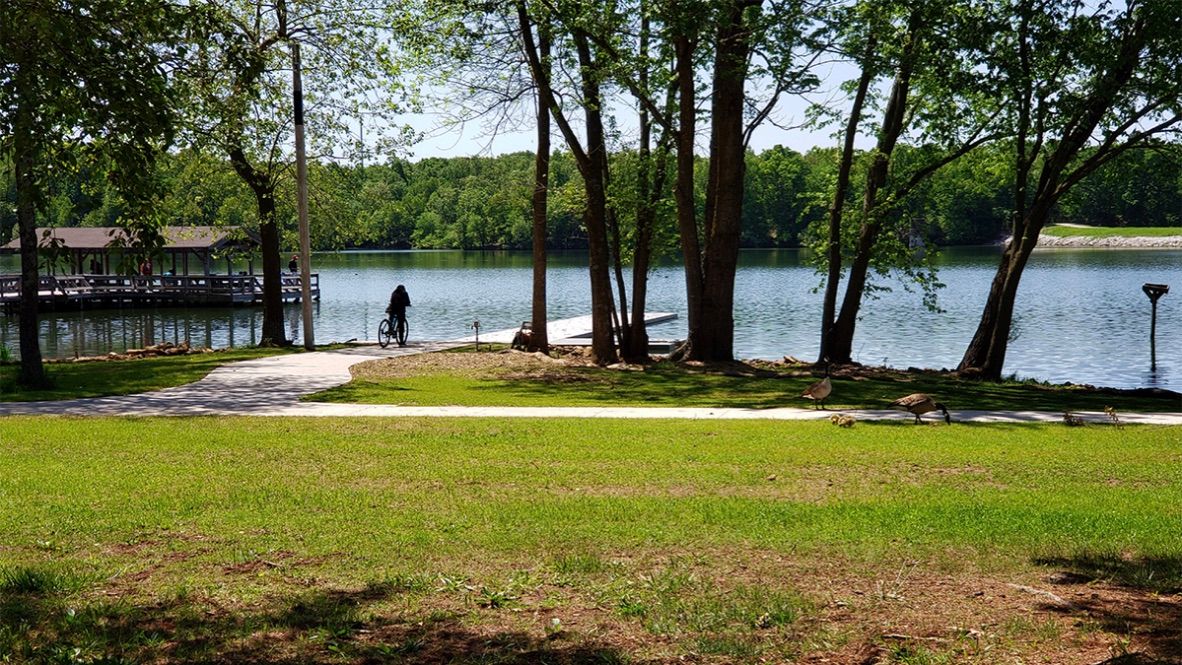
Photo courtesy of the City of Fayetteville
Lake Fayetteville Park is one of our favorite places to roam. The park consists of 458 acres of land and 194 acres of water. There is a 5.5-mile nature trail around the lake and 4.3 miles of hard-surface trail that also circles the lake. The North Shore Park, Veterans Memorial Park, and The Botanical Garden of the Ozarks are all close, so your roaming can last all day.
Kessler Mountain Regional Park
NWA Daily
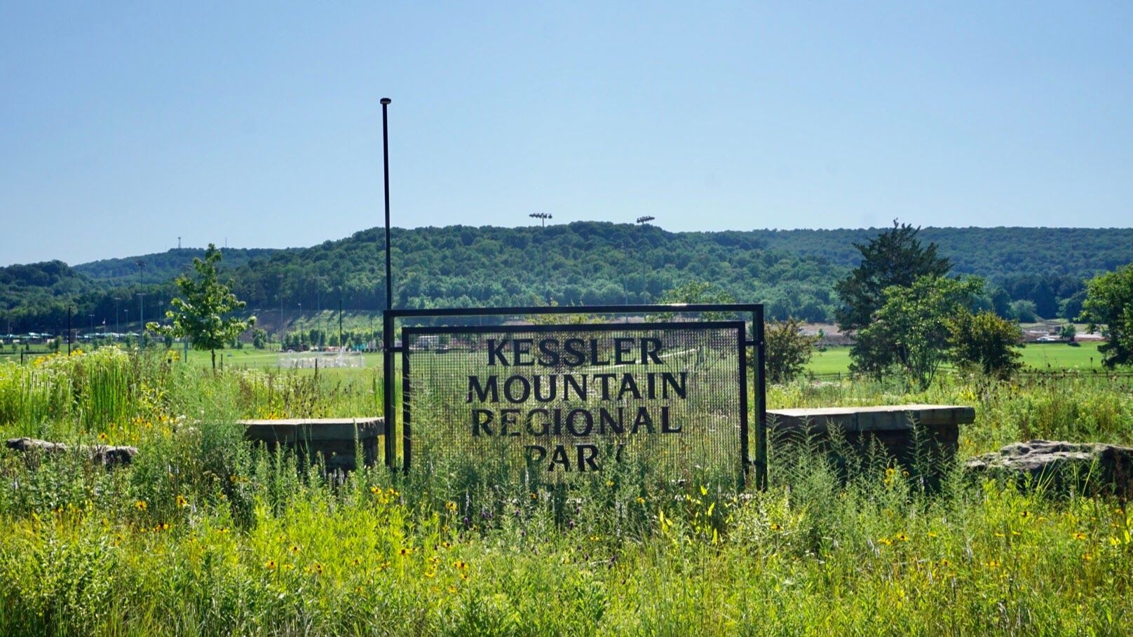
The Kessler Mountain Regional Park totals around 620 acres on and around historic Kessler Mountain, which reaches 1,856 feet above sea level. The park includes a nearly 400-acre nature preserve and is a popular area for hiking and mountain biking with more than 10 miles of natural surface trail.
Springdale
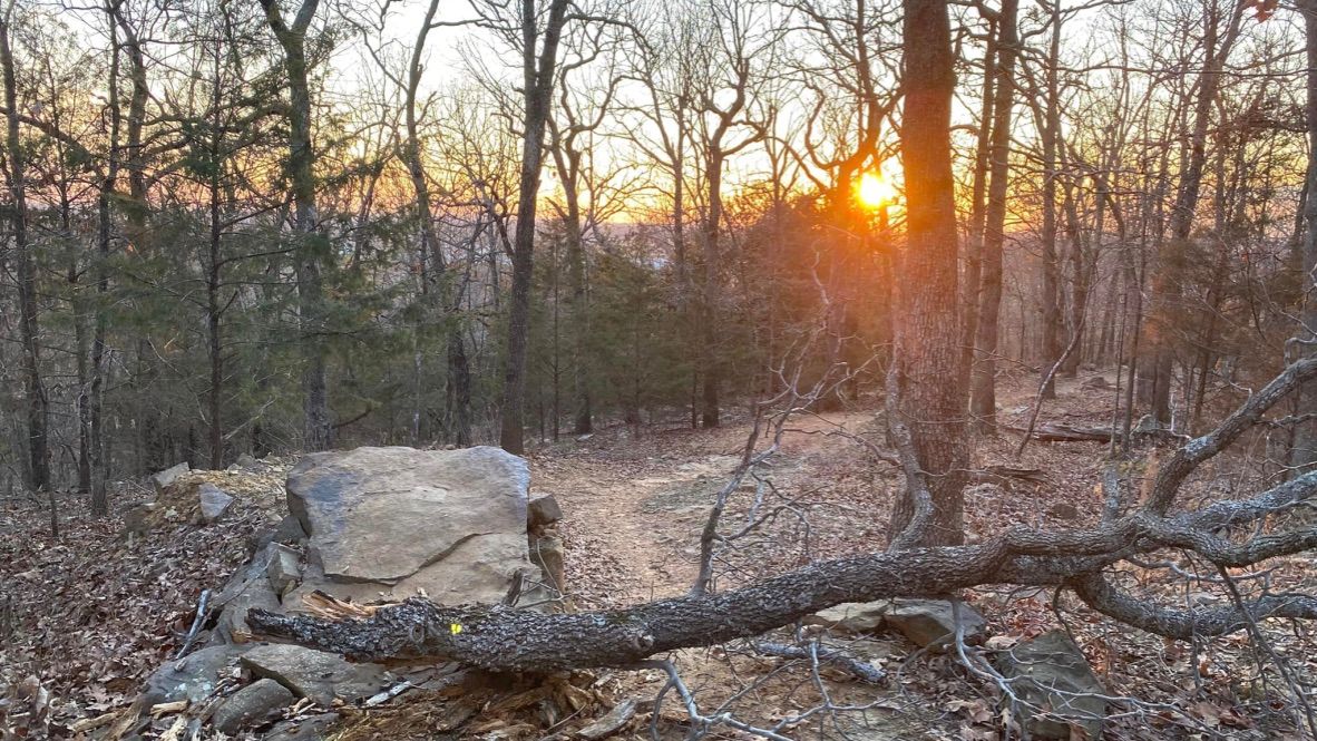
Photo courtesy of Bradford Bowen - Facebook
Fitzgerald Mountain has a network that adds up to 11 miles, but with the punchy climbs and rocky descents, it feels like 20. If you’re going with your mountain bike, the stonemasonry of trails like Stage Coach, Coyote Cave, and the “affectionately named” Best Trail Ever is worth the trip. The mountain is nearby Bayyari Park and Runway Bike Park as well, so your trail ride or walking exploration never really has to end.
Rogers
Hobbs State Park-Conservation Area

NWA Daily
Hobbs State Park is the largest state park in Arkansas and is right here in Rogers on the southern shore of Beaver Lake. It spans over 12,000 acres and has over 54 miles of trail, with multiple camping sites. There are 8 total trails that are a part of the Conservation Area’s Monument Trails, accessible to mountain bikers, hikers, and trail runners.
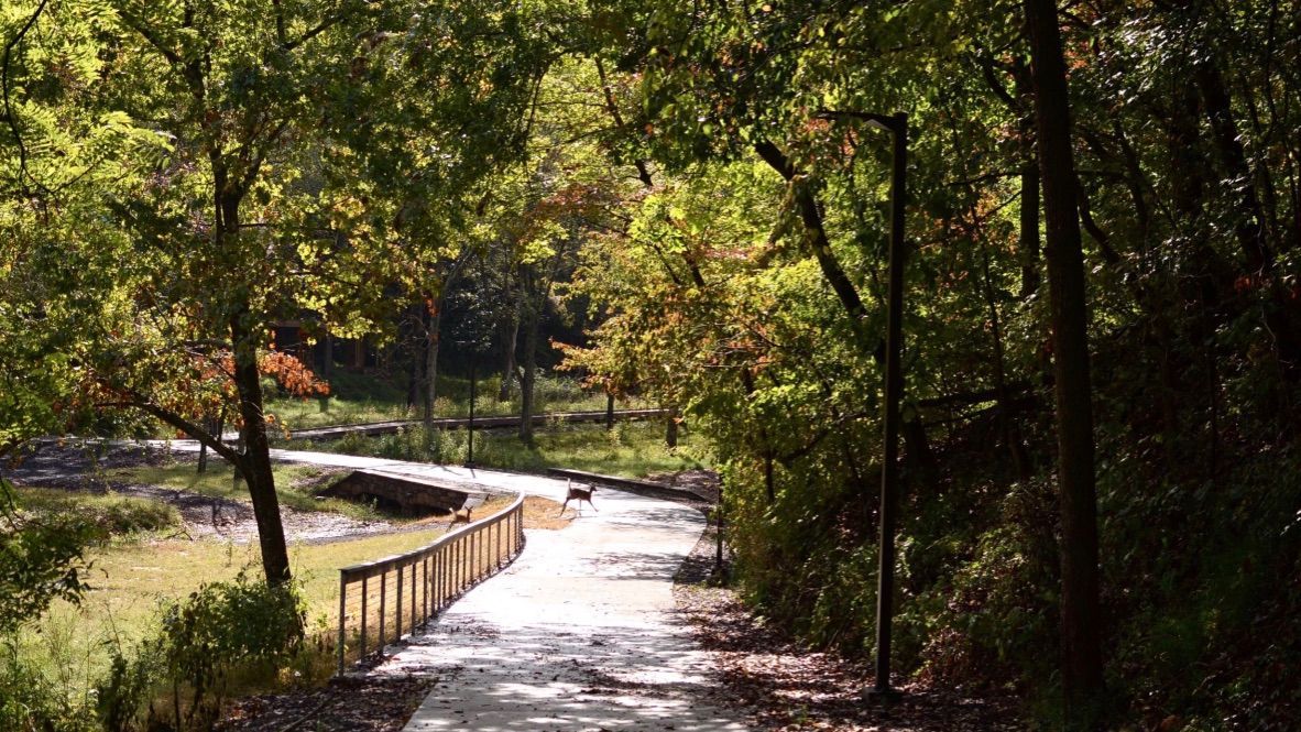
Photo courtesy of the City of Rogers
Lake Atalanta is a reservoir along Prairie Creek in Rogers with a 1.8-mile loop trail featuring a beautiful forest setting and is appropriate for all levels. The Lake Atalanta park is 236 acres with the trail system beginning down the hill from Historic Downtown Rogers on the south side of Walnut St.
Bentonville
Crystal Bridges Trails & Grounds
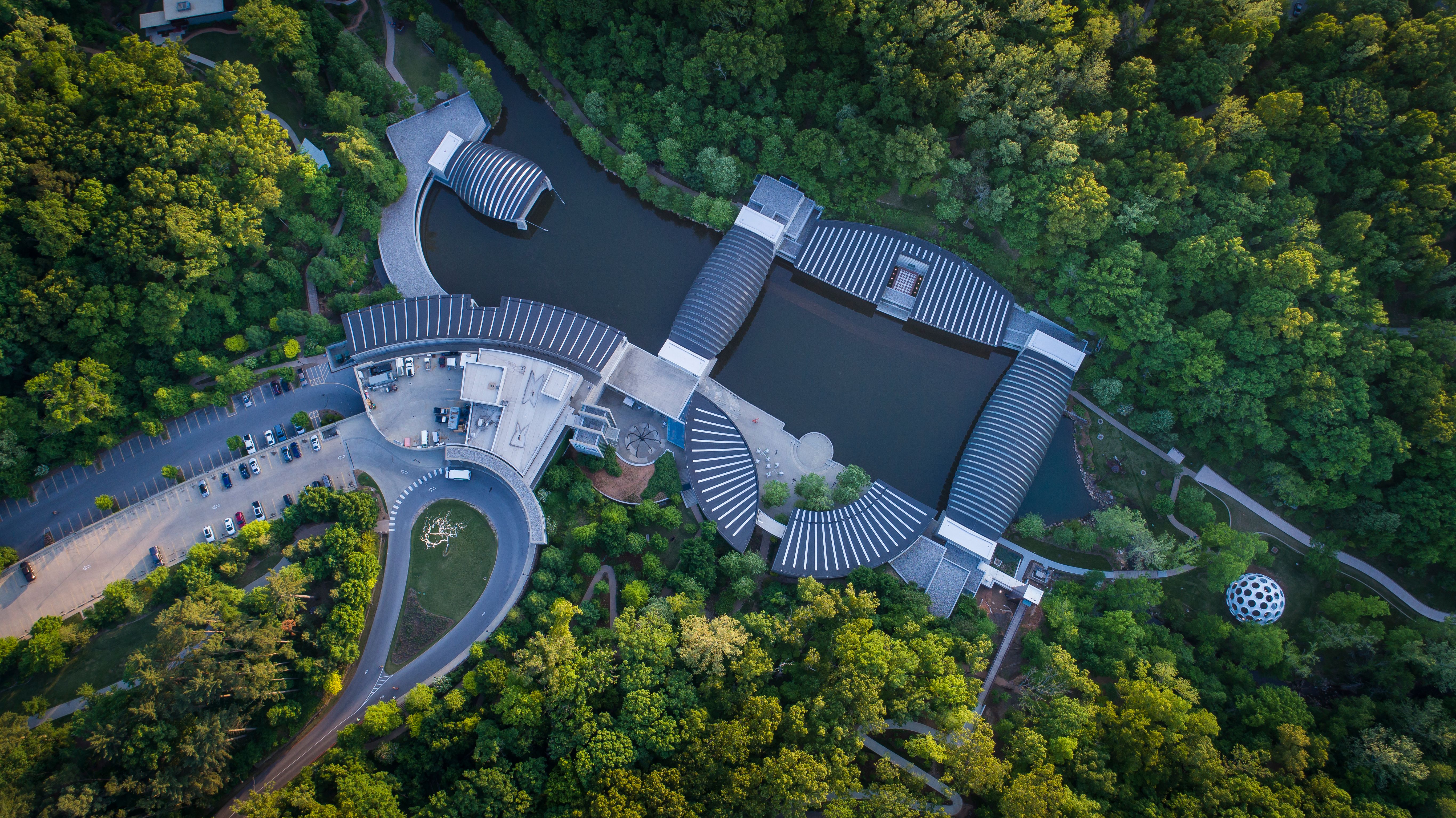
Photo courtesy of Crystal Bridges
Crystal Bridges Museum of American Art sits on 120 acres of native Ozark forest that includes natural springs, streams, geographical features, native plants, and animals all accessible for us to enjoy via the trail system throughout. The trails include the Art Trail, Crystal Springs Trail, Crystal Bridges Trail, North Forest Trail, North Lawn Trail, Orchard Trail, Rock Ledge Trail, and the Tulip Tree Trail.
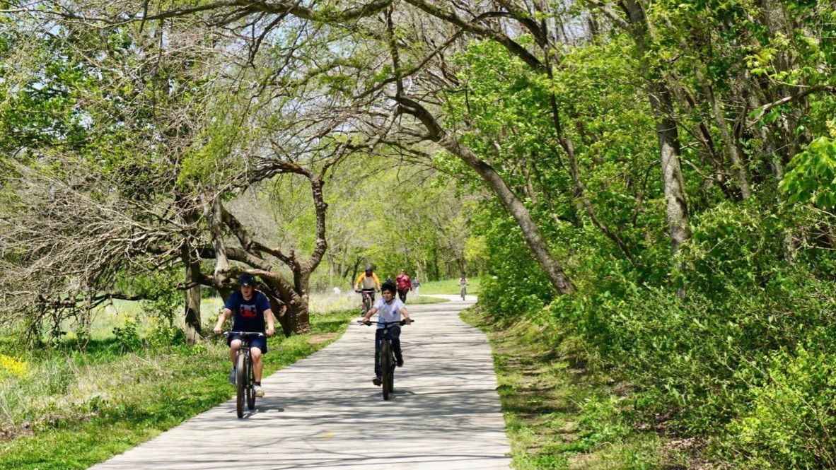
NWA Daily
The Coler Mountain Bike Preserve is most well known for its 17+ miles of mountain biking trails, but there are also trails for running or taking a stroll. At the heart of the preserve is The Homestead where the trails meet and an open-air barn and a coffee shop welcome those who have made the trek.
Bella Vista
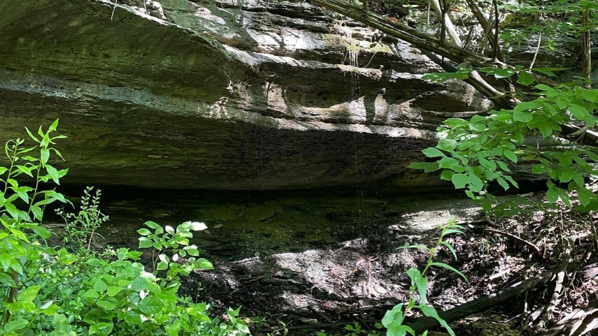
Photo courtesy of Susan Morris - Facebook
Blowing Springs is in the southern part of Bella Vista with a trail system that contains about 30 miles of trails and connects easily to Slaughter Pen, the Back 40 and Little Sugar, and downtown Bentonville. Blowing Springs has it all from waterfalls to caves and endless greenery.
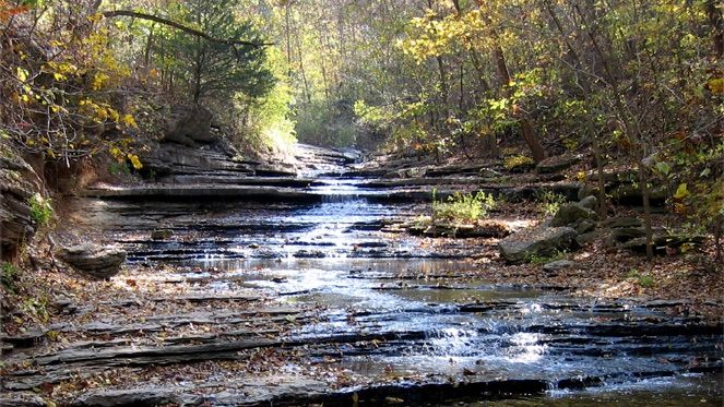
Photo courtesy of beautifulbellavista.com
The Tanyard Creek Trail is a beautiful trail off the beaten path in Bella Vista and an excellent way to see the natural world of Northwest Arkansas. It's a small 2.2-mile loop below the Windsor Lake Dam and has a wonderful waterfall, especially after it rains. You're sure see some wildlife as you walk through the forest and up the creek.
A little further out

Photo courtesy of Jae's Photo Visuals - Facebook
Devils Den is another one of Arkansas’ state parks so close to home. It’s a 2,500-acre park with trails for day-hikers and mountain bikers alike. There are 11 wonderful trails for anyone to explore and experience breathtaking views and maybe even some fossils or evidence of early settlers on the Fossil Flats Trail.
NWA Daily
The Buffalo National River park encompasses over 95,000 acres and is linked together by a growing network of hiking trails and campgrounds, with backcountry camping allowed on certain trails. There are the Upper, Middle, and Lower District hiking trails for you to choose from and endless sights to see.
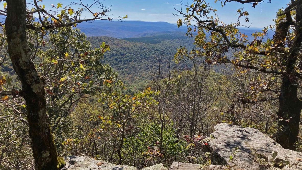
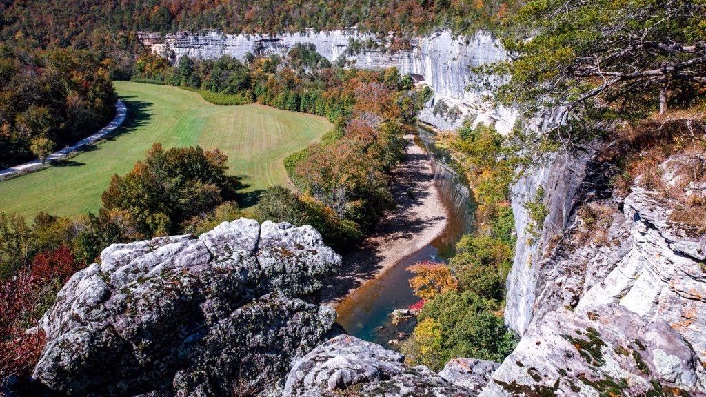
Photo courtesy of Ozark Highlands Trail Association
The Ozark Highlands Trail is recognized as one of the most scenic trails in the U.S. It’s a hiking trail that spans an impressive length of 218 miles through Northwest Arkansas. It starts at Lake Ft. Smith Park on Arkansas 71 and crosses the Ozark National Forest all the way to the Buffalo National River. Traveling through a variety of forest landscapes and elevations, access points to the trail are located along its entirety.
Subscribe to receive our daily newsletter
Know all the happenings in NWA with a 5-minute read of our free email newsletter every weekday.