Benton County Releases Interactive Map To Better Communicate Road Closures
| April 6, 2023 | Subscribe | |
 |
CommunityBenton County Releases Interactive Map To Better Communicate Road Closures |
NWA Daily
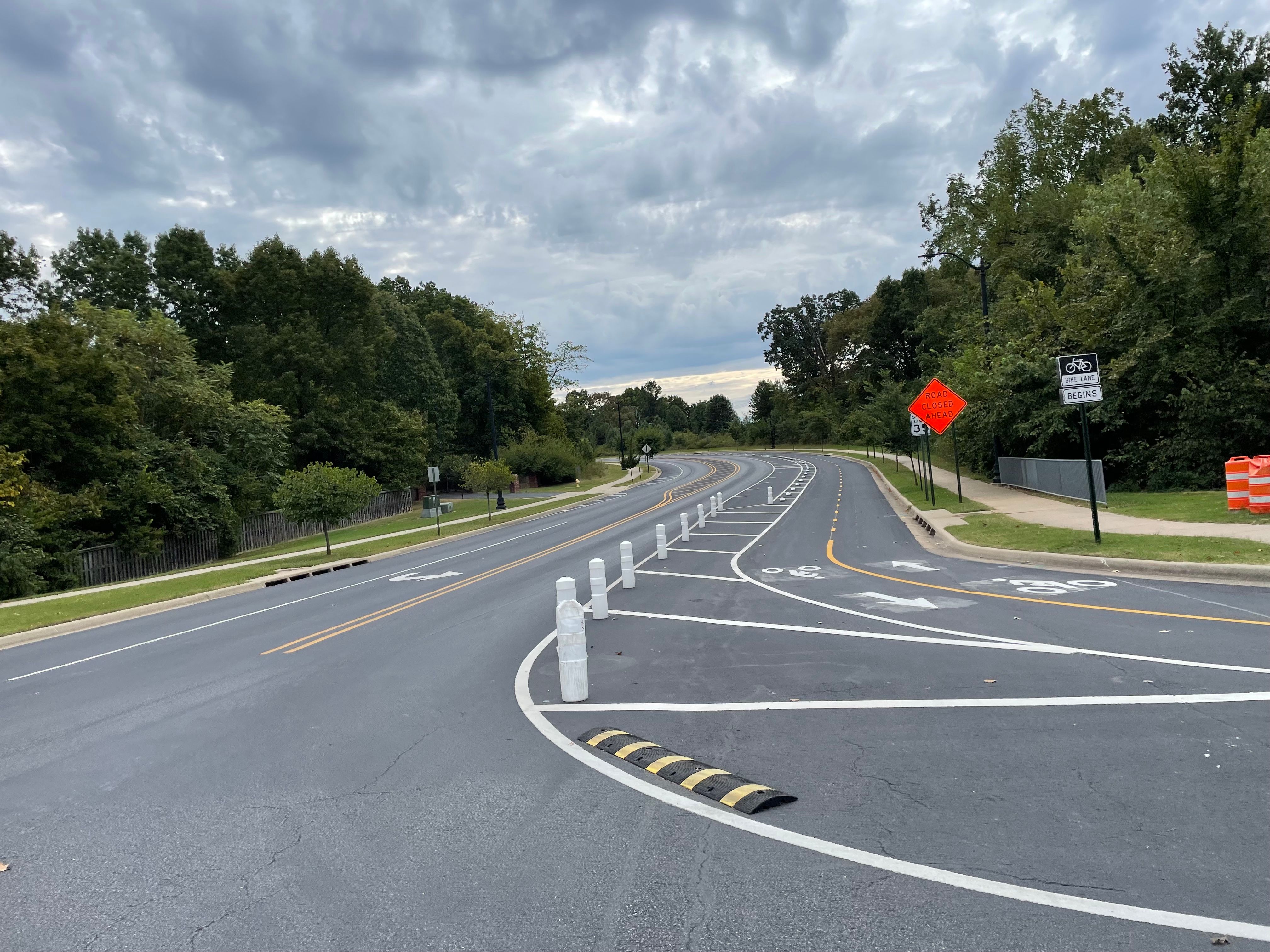
A new interactive road closure map revealing real-time road closures from construction or severe weather has been developed by Benton County Informational Technology Department alongside the Road Department.
View the map HERE. |
Subscribe to receive our daily newsletter
Know all the happenings in NWA with a 5-minute read of our free email newsletter every weekday.